foss4g 2022 | assessing land surface temperature in urban areas using open-source geospatial tools
Published 2 weeks ago • 5 plays • Length 4:33Download video MP4
Download video MP3
Similar videos
-
 1:02:44
nasa arset: land surface temperature-based surface urban heat island mapping, part 1/4
-
 1:33:36
nasa arset: land surface temperature-based urban heat island mapping, part 1/3
-
 16:01
16:01
foss4g 2022 | multiobjective analysis of open areas invaded by forest with open source software:…
-
 3:21
3:21
foss4g 2022 | an open-source mobile geospatial platform for agricultural landscape mapping: a case…
-
 20:58
20:58
foss4g 2022 | maplandscape - an open-source geospatial workflow for agricultural landscape…
-
 19:32
19:32
foss4g 2022 | tourism, natural protected areas and open source geospatial technologies
-
 22:29
22:29
foss4g 2022 | state of geopandas and friends
-
 4:19
4:19
foss4g 2022 | open source geospatial applications for energy and environment integration
-
 19:29
19:29
foss4g 2022 | serving geospatial data using modern and legacy standards: a case study from the…
-
 23:30
23:30
foss4g 2022 | the state of cloud-native geospatial
-
 18:14
18:14
foss4g 2022 | landslide susceptibility assessment: soil moisture monitoring data processed by an…
-
 5:12
5:12
foss4g 2022 | calculating school catchment areas - an open source solution
-
 13:44
13:44
foss4g 2022 | use of open source tools to estimate global ghg emissions.
-
 4:46
4:46
foss4g 2022 | analysis of free and open land cover maps for agricultural land use planning at the…
-
 4:49
4:49
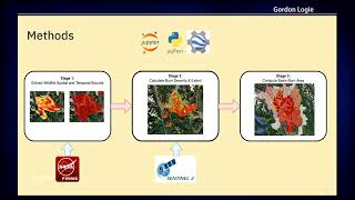
foss4g 2022 | a tool for mapping fire burn severity and extent in watersheds for flood risk…
-
 4:26
4:26
foss4g 2022 | functionalscope - interactive real-time simulation tool for neighborhood planning